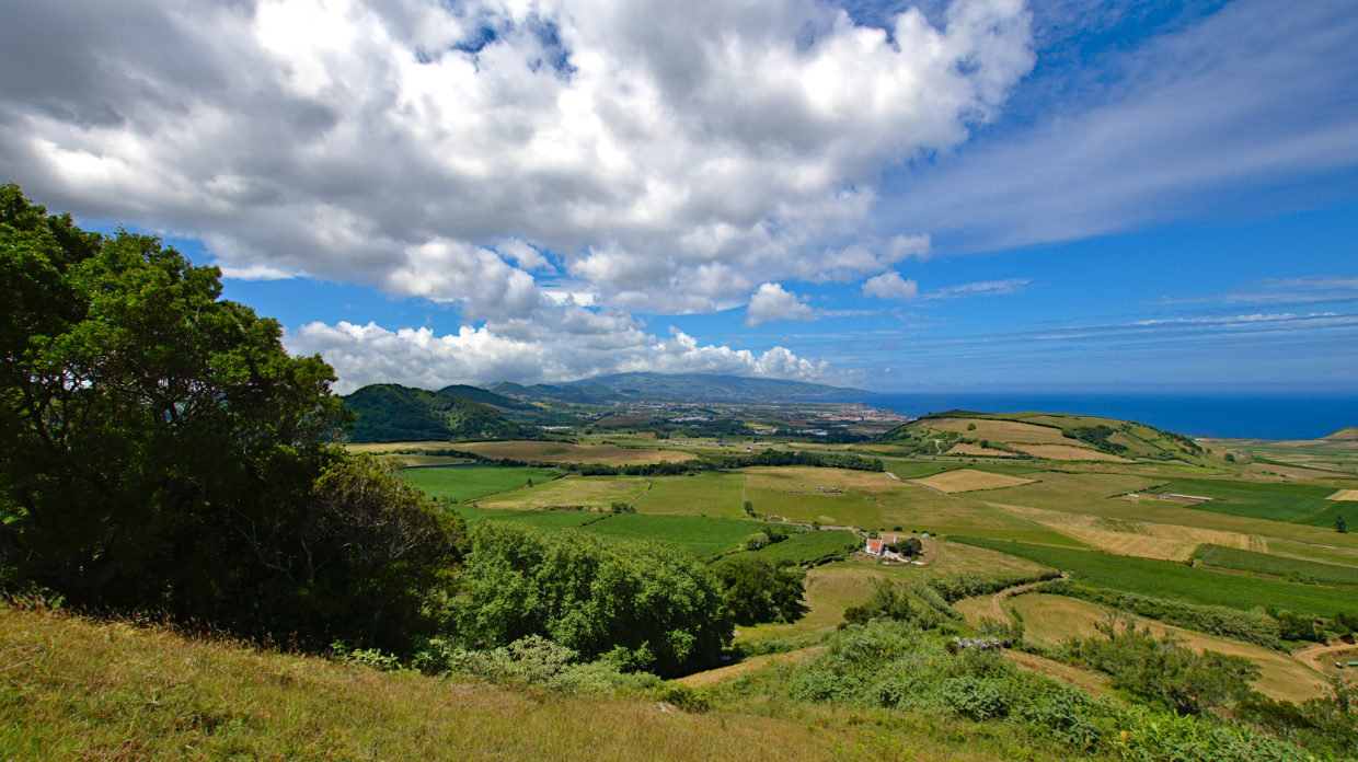
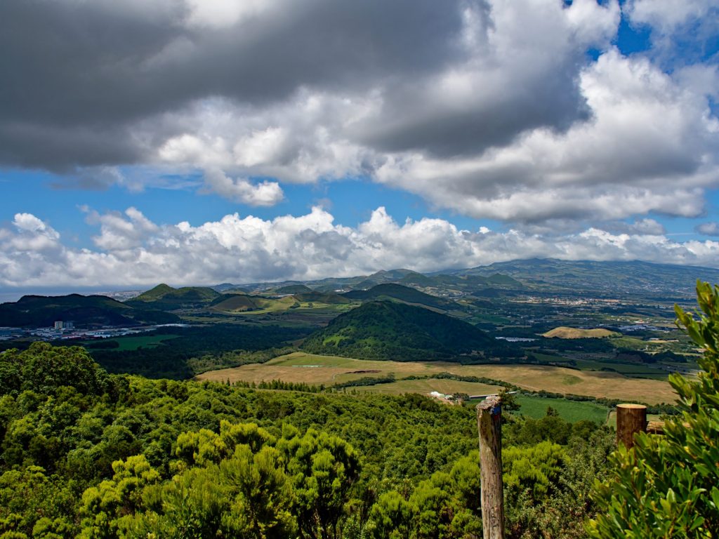
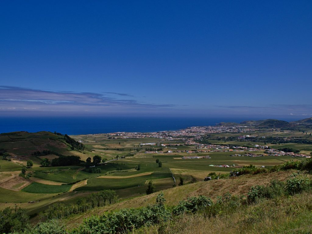
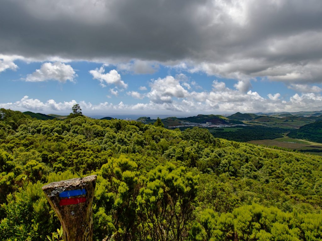
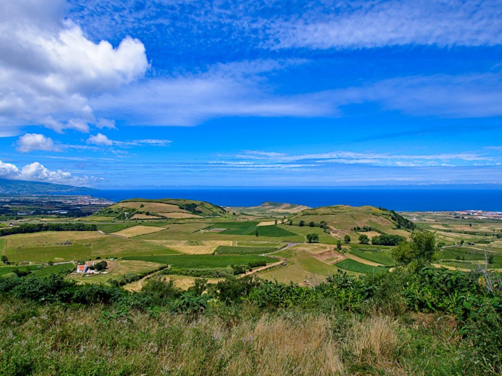
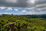
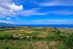
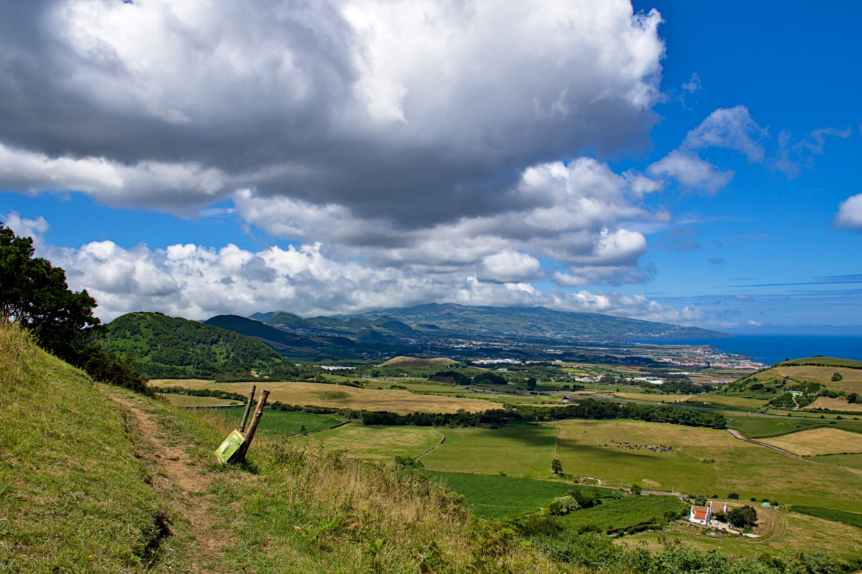
The Pico Queimado is one of the many small but central mountains on São Miguel that have been created from several craters. The hiking path TM02 has been leading up here for a long time, but for whatever reason, it seems to have been forgotten about lately.
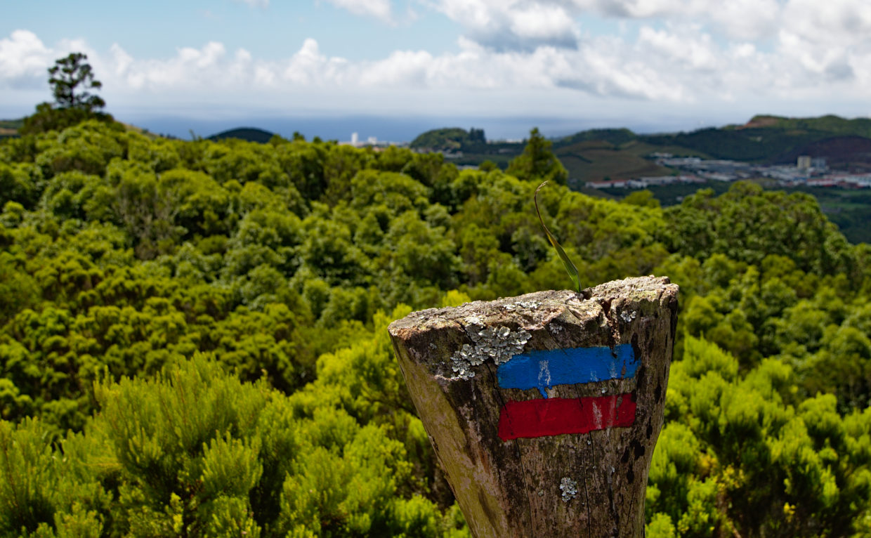
We personally think that’s not fair at all. You will not find many other spots that offer such a fantastic view over central São Miguel. In order for you to get an idea, we will show you a little bit of the path here. By the way, we took all the photos in the middle of summer, without encountering even a single person.
If you like the Azores, and would like to spend some time on São Miguel yourself, then we would be more than happy to receive you in our holiday home. Find out more here.
If you have any questions, suggestions or specific requests for posts you can reach us via the contact details provided here.
Starting point towards the Pico Queimado
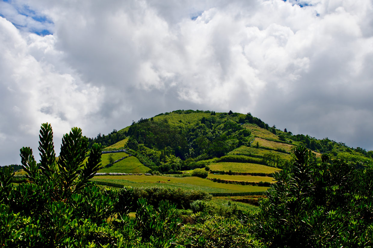
The closest carpark is a small lay-by slightly to the north of the hiking path entrance. We did not really find any other space to park without blocking off the driveways to fields. At least you already get a good view of the Pico Queimado from the car park.
Walk carefully along the side of the bend, because this bend is fairly stretched out which means that potential drivers may only spot you quite late.
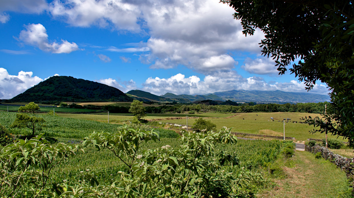
Fortunately, the way is not far, and you soon reach the hiking path to the left. The entire hike, including the route from the car park to the hiking trail, is only 4.6 km long. We walked slowly with many breaks and it took us around 2.5 hours. The 270m elevation is not that noticeable either. By the way, the summit is about 375m high, according to our Sat Nav.
The path to the summit
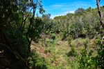
Once you reach the hiking path, you will first pass a house and then reach the forest quite quickly. At first, the path resembles a ravine that has burrowed into the mountain over time.
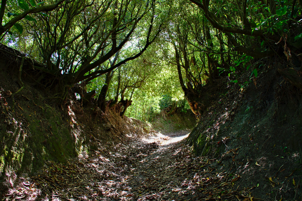
The appearance of the path keeps changing. Part of it is forest, part leads you along fields, but you will also pass open mountains and heaths. After around a third of the way, you pass a couple of slightly decomposed gates which we assume were once supposed to keep out animals.
There are many spots along the path that really show how it has sort of been forgotten about. However, maybe that’s part of what makes it so beautiful!
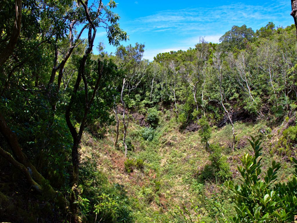
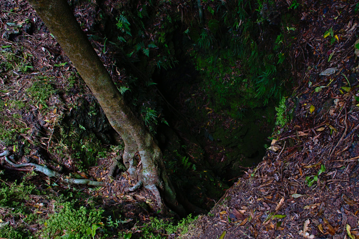
At around the halfway point, you will find two deep clefts on the ground in the forest that have a volcanic origin.
The last third of the way to the summit also leads through the forest. You can spot some more special trees here, for example this one:
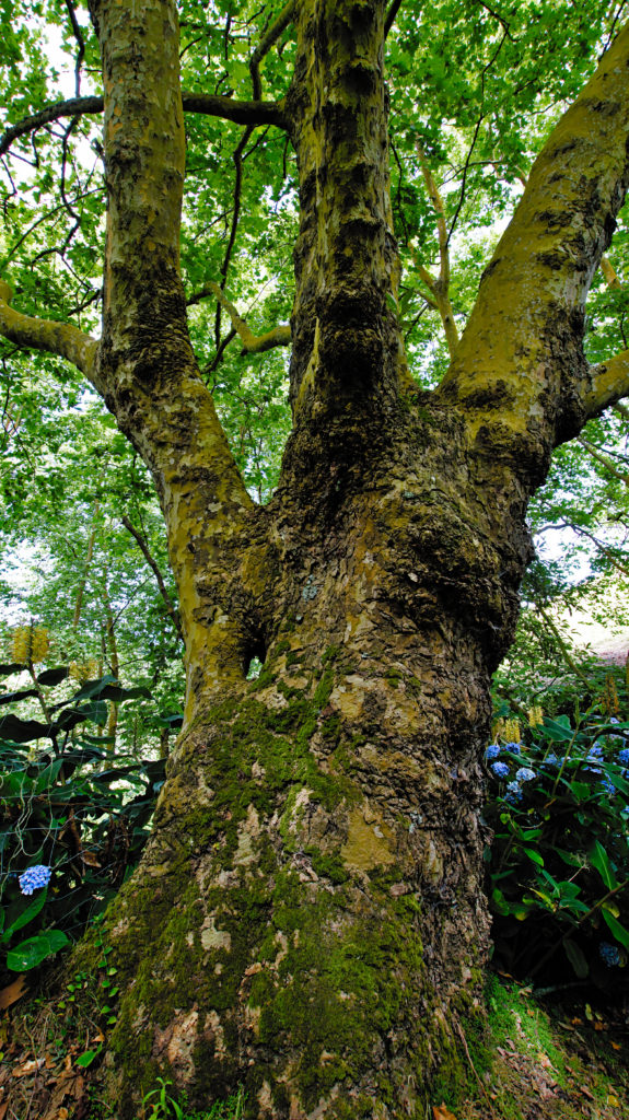
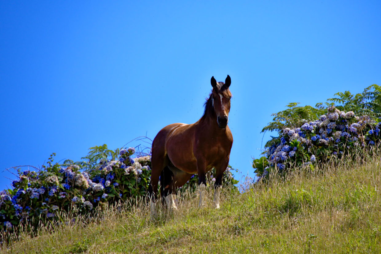
We can’t say how the whole got there, but the trees overgrown with moss and lichens due to the high humidity always omit a very special atmosphere. Not far from here, the path, fenced in by hydrangeas, leads up to the summit.
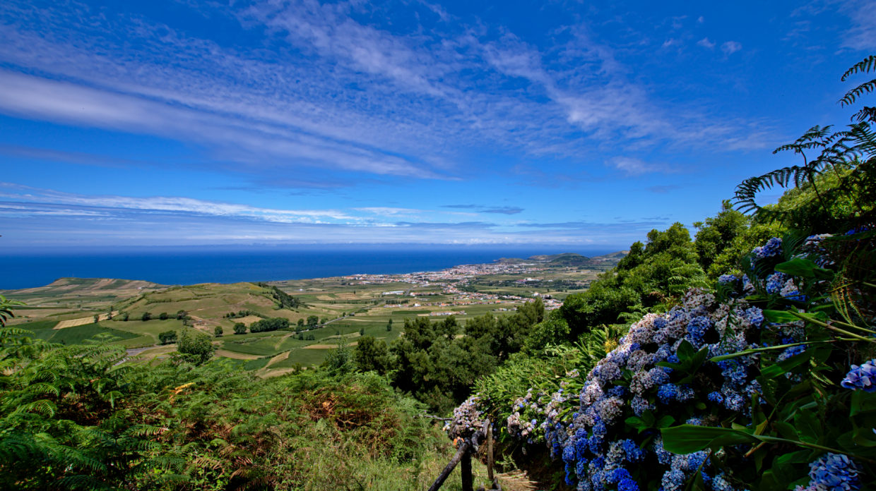
The summit
Even though the Pico Queimado is not terribly high, its fortunate location means that you get a view over the entirety of central São Miguel. You can see everything from Ribeira Grande, the western mountains such as the Pico da Cruz and central smaller mountains all the way to Ponta Delgada.
From the summit, the path actually leads a little further around the crater and ends within the crater itself. You can climb a little way down it. This path is a little worn down, and the tree trunks that are meant to act as steps were loose when we were last there. However, none of that is a problem as long as you’re careful!
